
So, due to somewhat semi-popular demand I've decided to extend this blog to cover wanderings outside of Europe 2013...

We left Carlsbad, CA at 6AM... to the 15 to the 58 to the 395N. As i try to think backwards, i thoroughly remember the urge to puke. And we weren't even 2 minutes off the driveway yet. Rightfully so, i was having an inner physical meltdown thinking of climbing a mountain that any normal - sound - of - minded person would train for before doing. But it was one of those days... okay... week... okay, it was a whole month of no exercise and too much beer. Now, just to draw a less crappy picture of my health - i typically run a couple miles a day, some night core-workout and lazy yoga (aka dead mans pose aka laying on my back staring at the ceiling). So, some had a bit of hope for me. Anyway, to my mum's relief i didn't puke on the driveway, but i did have to pull over off the 58. Anyhow, the 395N is one of my favorite roads... the last time i was down it was a couple years ago to climb Mt Langley, and since then i've wanted to go back and simply camp Tuttle Creek, but the cost to get there alone is a bit (much) depressing. Finally got into Lone Pine around 1pm, one of the raddest towns in my book. Alabama Hills Cafe serves amazing breakfast - huge portions, it's tradition to eat there after spending some days up in the mountains. Near that is Pizza Factory also, for something quick, and across the street is a hostel that has just gone under new ownership. It has supplies for sale downstairs, and provides showers with a towel for only $5 if you're not staying there.
After some dinner we went up to the family / group camping area and set up base camp. It was my old man, myself, two of his co workers - Don "Won", and Al, and Al's daughter Sarah. If my brother were there it would be the exact same group as Langley 2012! woot, but oh well. The temperature was perfect for end of May. fire pit, benches, and bathrooms provided in the area, while just up around the road would be Whitney Portal - with a store, showers, and pond.


Base Camp


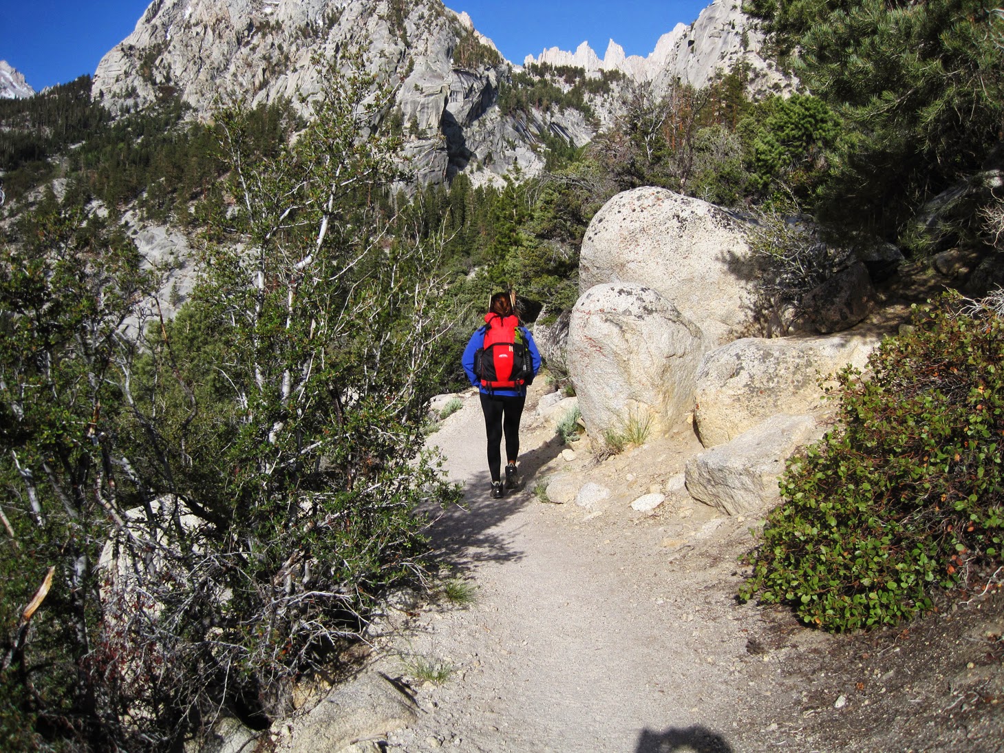


Lone Pine Lake


You'll come up to Outpost Camp around hour 3, where you pass a meadow and waterfall - it is the lowest you can camp next other than Whitney Portal(with permit). After that is Mirror Lake, where no camping is allowed, but we decided to just keep going until Trail Camp near the top to camp for the night (3 more hours). I want to say it was maybe around noon?..somewhere around there, as we passed up along the ridge above Mirror Lake.

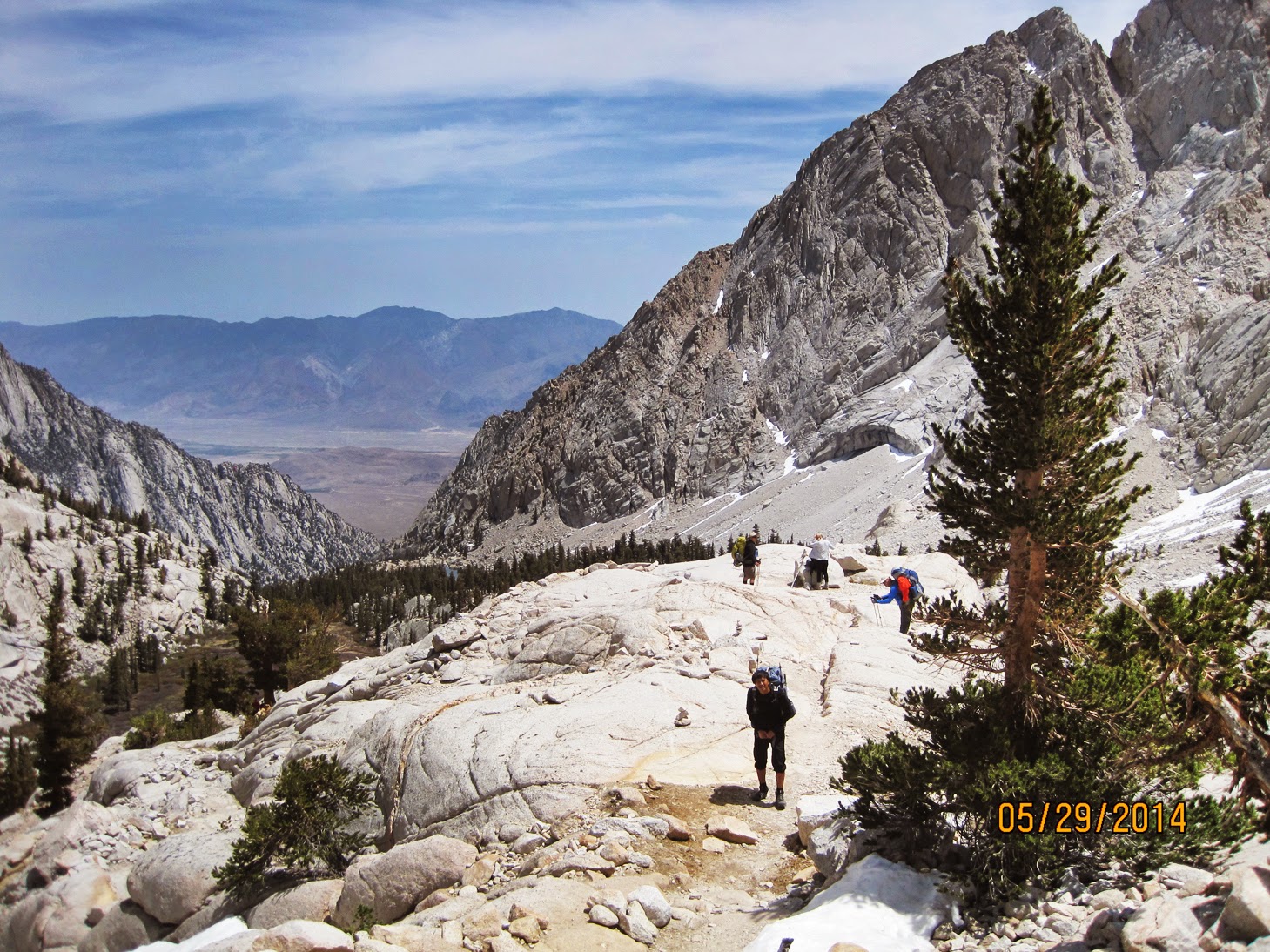
10AM Outpost Camp (other campers behind me)


Crossing above, Mirror Lake would be to the left over cliff


Consultation Lake

We reached Trail Camp around 3PM, tracks were a little off through the snow, and set up camp for Thursday night. No more trees, and a shit ton of wind, and a grip of marmots.
Sleep was nonexistent, as it dropped into the low 20s, winds flipping out to 40+ mph between the mountains, and another group of people a couple rocks away being loud into the night. We wanted to start by 4AM, but heads were pounding, and we didn't make our way to the Chute until 6AM. Once cramps and microspikes were strapped on, we made our way across to the bottom of the Chute.

MARVIN!


Trail Camp, Mt Whitney straight above

All's well at 12,000ft when there's a burrito & habanero

Friday 4:51AM Trail Camp

Switchbacks (L) vs Chute (R)

Friday 5:45AM Trail Camp, Mt Whitney off to the right, Chute on left

Crossing over to the bottom of the Chute, Switchback route behind us to the left


7:30AM Bottom of the Chute, climbing to left (Trail Crest)

i debated falling apart and crying while climbing up this thing... although we just barely began in time, the tricky part with climbing the Chute is to get to the top before the snow/ice melts under you, and you lose your footing and... you die. You would definitely die... falling at a 65 degree angle with no ice-axe to catch back into the ice before breaking something onto the boulders jabbing out at the bottom. it was challenging for sure, and i'm not exaggerating when i say that i believed i had a chance of completely losing my shit. slowly but surely, in-between deep breaths and when the winds would stop for a brief handful of seconds, stab some steady steps into the mountain and keep going up what felt like only inches upwards at a time. if i straightened out my back too much, i would feel the wind blow me backwards. graceful bitch-slaps from Mother Nature... nothing quite like being reminded just how small and insignificant you are... puts some things into perspective... oh how i wish i could have made this post with a bit more funnys, but shit gets heavy when we contemplate life while trying to climb things i guess...
Finally, after what felt like the 2 longest hours of the day we made it to Trail Crest at 9AM. in half an hour, it may have been too late - i definitely felt my foot slip a couple times as the snow and ice turn into slush. Could def care less about any sort of summit nearby at that moment. i just took off all my jackets laughing and screaming hysterically, sweating like a mad person before continuing onto the next 2 miles around the back towards the summit.

View from Trail Crest down over the edge of the Chute. Campsite down by Consultation Lake on right.


Dipping around the corner of Trail Crest, to continue 2 more miles to summit

Don "Won" crushing it, 1.8 miles to go, me not pictured, sitting on a rock trying not to puke.

My old man goin up the last stretch

View to the left - can barely see the side trails we just took
We made it to the summit by noon. My old man was pretty stoked for me "YOU'RE HIGHER THAN SHASTA! You're pretty much above Merica! Look around you!"
...while i just lay face down on the closest rock before rolling over, "This is the most beautiful rock i've ever seen". And that was that... considering this was the 5th time for my old man, he was just turning back around ("i've already seen this") had a snack, downed some ibuprofen and chatted with a couple others that were backpacking the Pacific Crest Trail, continuing their way up north before going back down ourselves. as they say, the summit is only halfway. and now we were going to have to get back to Trail Camp, pack up, and race the sun back down to Whitney Portal.

Absolutely thrilled.

Rocks to your front, your back, your left, your right.

No Food makes you No think, and write wrong city

I think this lil "lightning house" was built in the 30s...

Going back down, view from TrailCrest over Consultation Lake (where our tent is)- where the Chute & Switchback trail meet

6:00PM Slightly disheveled
We didn't take the Chute back down - too slush/icey, but the switchback route wasn't as lovely looking either. People who had decided to take that throughout the day left tracks in it, but it was still snowed in. Trail would cut in and out of being covered in snow and then down to dirt. We clung to the rocks on our right sides as we carefully place on foot after another in previous tracks watching to make sure the snow wouldn't give out under us - again leading us to a certain death. Do i have pictures of what the switchbacks looked like? Fuck no. i definitely did not have any sort of time or energy to move my hands off any rocks to take a picture. Later on there was a random line of cable to hold onto as the trail was completely gone at one point as we balanced on some snow and rocks to continue down the switchbacks.

MERICA

6:45PM Mirror Lake


7:54PM Racing the sun
Through the dark every stick looked like a snake, and every pinecone - a giant beetle or a giant poop. My headlamp was just barely there, like a drunk pixie fairy, guiding me barely 2 ft in front of me down and around the trail flickering in and out. Finally, made it back to Whitney Portal at 10PM.
Al got us pizza and beer, and we ended the night covered in moths and smelling terrible. Packed out the next morning, and whispered exhausted goodbyes to Whitney and made our way to the hostel at the bottom to shower and then grab breakfast at Alabama Hills Cafe.

Lone Ranger omelet for days
Would i do it again? Sure. With that much snow again? Not unless it's Christmas. So, no. Next time i'd like to rent out a cabin for a week and have a little more time there to frolic as i want (while getting super used to the altitude) then hike it via the Mountaineer Route. So good luck to you! if i can do it anyone can do it. also, have fun packing out your poop :) yes, did i mention you gotta poop in a bag?
To reserve:
http://www.recreation.gov/To not be totally oblivious:
http://www.weather.gov/
To maybe kind of know where you are going:
http://www.yelp.com/biz/mount-whitney-lone-pine
No comments:
Post a Comment